 En
En
 Italiano
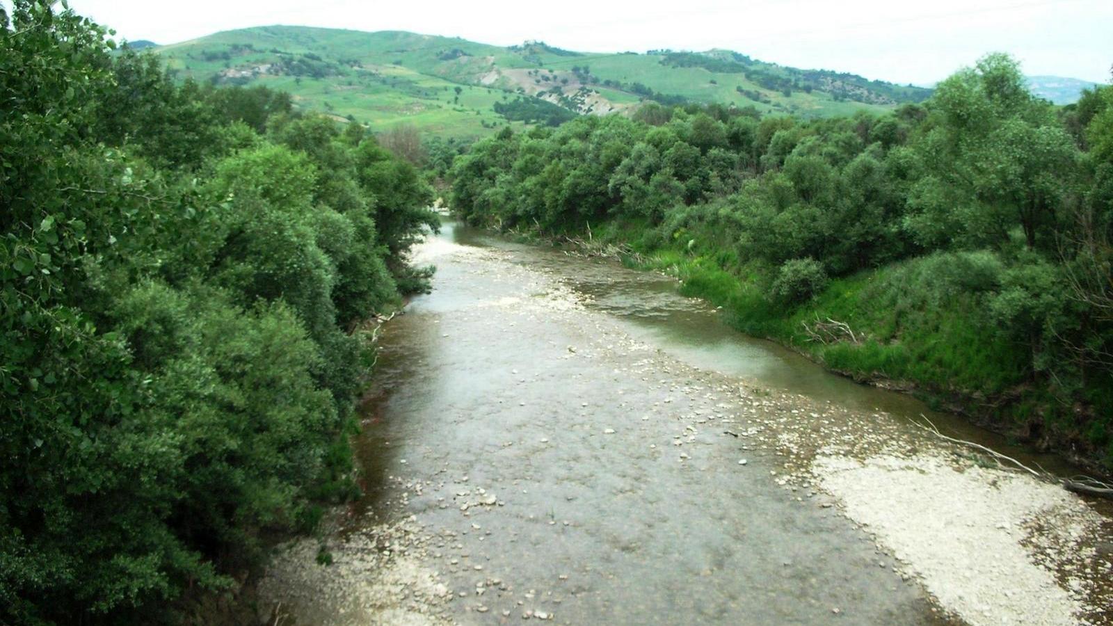
Informations
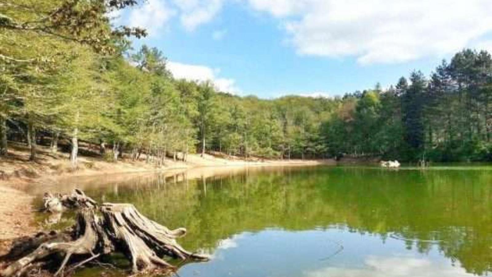
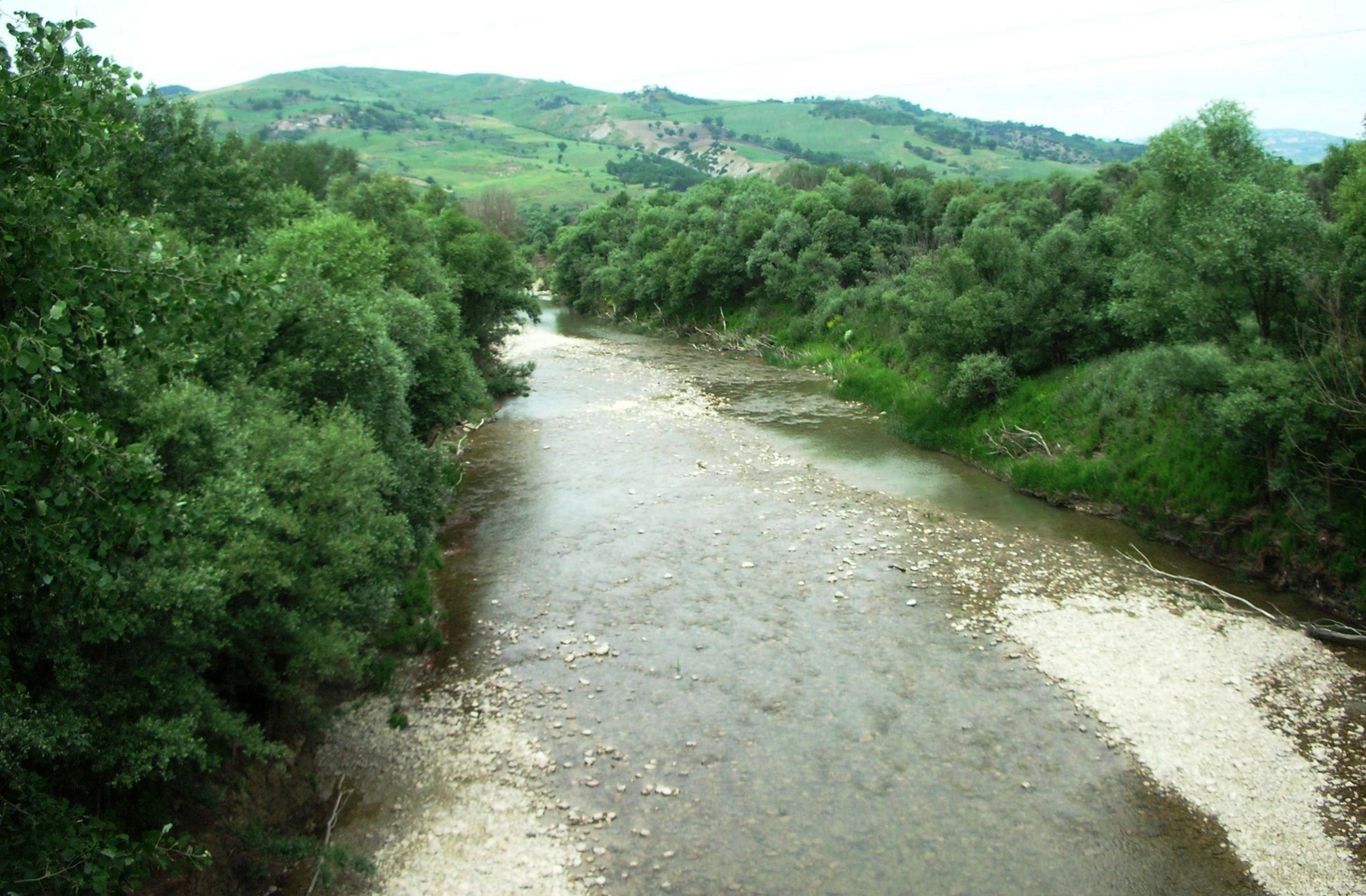
The Fortore River originates in Montefalcone di Val Fortore in the province of Benevento at an altitude of 720 m. It flows north, separating the Daunia mountains from the main Apennine chain. It is 86 km long and only 61 km through the province of Campobasso. From the confluence of the Tona stream to the mouth it flows in the Apulian territory. Its course is long and tortuous.
In the first part it has steep slopes and little flow. In the valley, then, it widens between the soft clayey and schist formations and forms the so-called Valle del Fortore. Along the way, its waters are increased by other small rivers such as: La Canonica, Scannamadre, Catola, Loreto, the Cantara river, the Tiano, the Tona.
Downstream from the municipality of Carlantino, the water of the Fortore river is collected by the imposing Occhito dam (with a total capacity of 333 million cubic meters). It is used both for the water supply and for the irrigation of the Capitanata, after having been purified.
The Fortore River flows into the Adriatic Sea between Lake Lesina and Chieuti. Six sampling stations have been identified in the Fortore river basin: two on the Fortore river, three on the Tappino stream and one on the Occhito lake.
Photo Credits: Nuada
Discover our territory
In the surroundings of: Masiello Food

Experience our territory
In the surroundings of: Masiello Food

.png "Logo Feudo Massari")
.png "Logo Frantoio Oleario Iaculli")
.png "Logo Molino De Vita")
.png "Logo Moreno Cured Meats Factory")
.png "Logo Rosso Gargano")


Events
In the surroundings of: Masiello Food


